Baytown property guide
Property and water-system context in Baytown
Baytown spans areas near the Houston Ship Channel, San Jacinto River, and Galveston Bay with residential, commercial, port, and industrial districts.
Established homes, slab subdivisions, apartments, schools, retail, offices, warehouses, marinas, and industrial facilities create diverse system boundaries. These differences affect the number of meters and zones, pipe routes, access points, operating schedules, and the systems that must be separated before a source is assigned.
Moisture clues that need careful separation
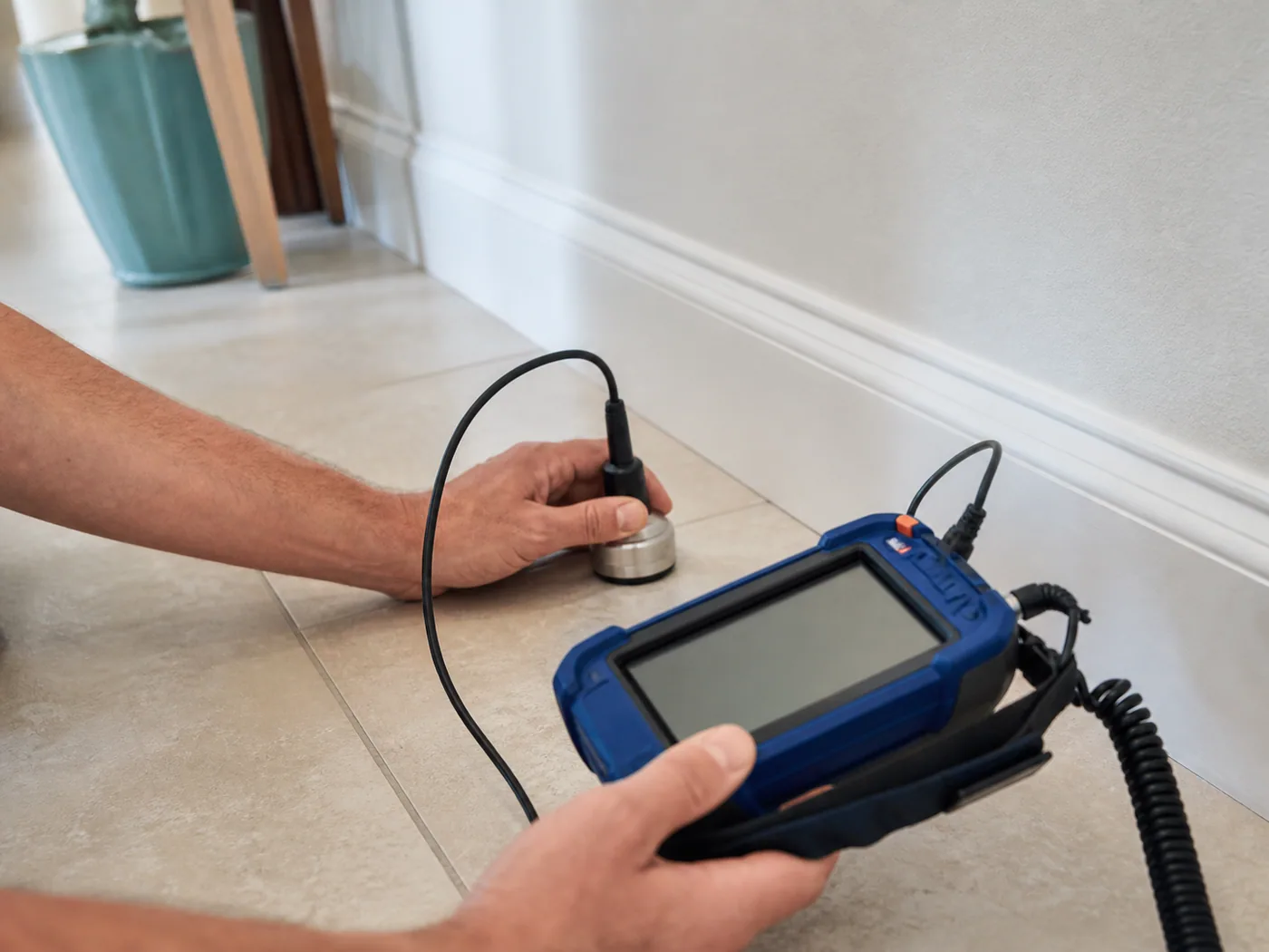
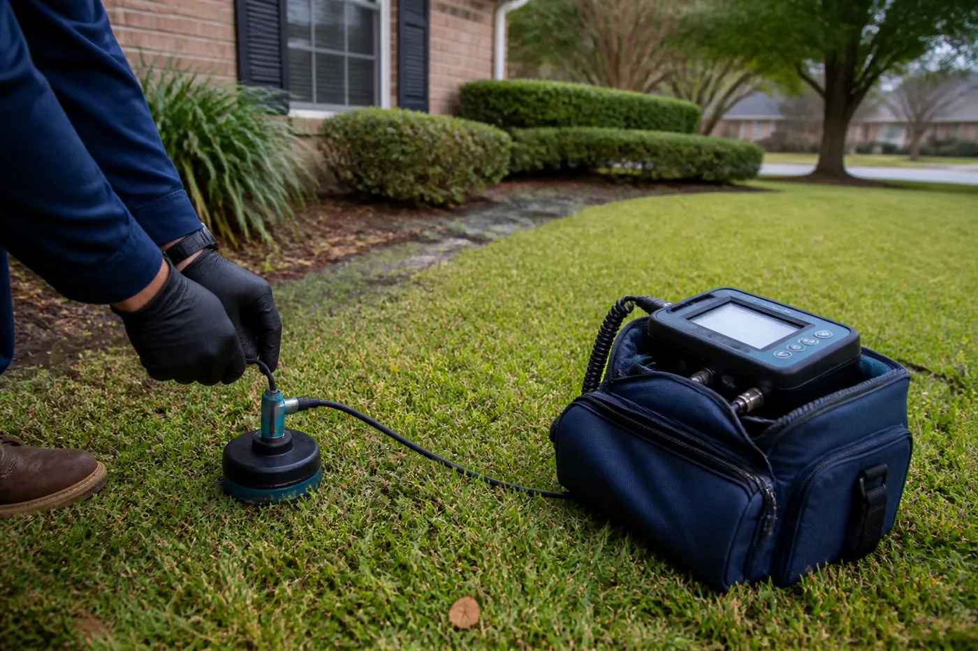
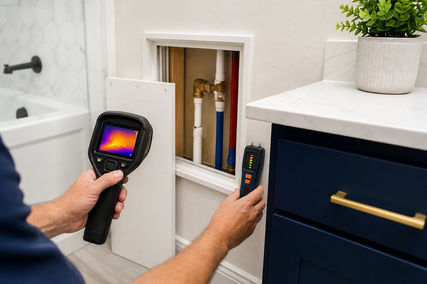
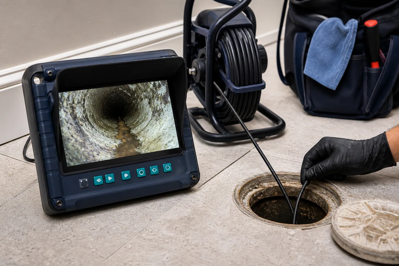
Coastal ground conditions, older services, long private mains, multiple meters, industrial infrastructure, and cross-county jurisdiction can affect testing. A current leak should be supported by meter, pressure, moisture, thermal, acoustic, drainage, or water-level evidence that connects the symptom to an active system.
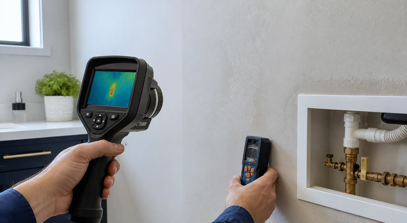
Preparing a Baytown property for testing
Provide the exact county and jurisdiction, property type, security or gate requirements, meter and valve maps, facility contact, and authorized shutdown period.
Before the visit, note the first symptom, timing, active water use, recent weather, prior repairs, remodels, irrigation cycles, pool operation, appliance use, and whether a building manager or tenant controls any access point.
Private piping, utilities, and later repair
The service boundary can change with the actual provider, meter, MUD, city limit, private site main, tenant agreement, or property-side responsibility. Those details should be verified for the exact Baytown address. Detection does not authorize excavation, opening finishes, structural work, remediation, restoration, or utility-side repair.
How local service pages are organized
The seven links below stay inside Baytown. Each page combines one diagnostic scope with this area's property, access, and water-system context. The pages remain pre-launch until an operator verifies that exact service and location combination.